

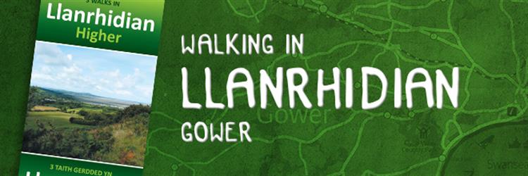
Discover Llanrhidian on Foot With Three Walking Paths
The Llanrhidian Higher Community comprises Crofty, Llanmorlais, Penclawdd, Three Crosses, and Blue Anchor. With over 38 kilometers of public rights of way through ancient woodland and across farmland, commons, and salt marsh, the varied walking in the area can lead to some beautiful and unexpected views.
Download the Route Map & Learn more about almost 12 locations of wildlife and historical interest you may encounter along the way.
Blue Route
Distance: 3.5 Kms or 2.25 Miles
Estimated Time: 50 Minutes
Red Route
Distance: 2.5 Kms or 1.5Miles
Estimated Time: 50 Minutes
Orange Route
Distance: 7.5 Kms or 4.6 Miles
Estimated Time: 2 Hours (120 Minutes)
Please note: mobile phone coverage is generally good along these walks, but reception can be poor in valley bottoms. The weather is changeable so you may need waterproofs and stout footwear.